Simpson Desert
- Details: DS Simpson Desert
- Availability: In Stock
Description
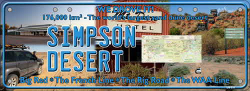
The SIMPSON DESERT is a large area of dry, red sandy plain and dunes in Northern Territory, South Australia and Queensland in central Australia. It is the fourth-largest Australian desert, with an area of 176,500 km2 and is the world’s largest sand dune desert. The desert is underlain by the Great Artesian Basin, one of the largest inland drainage areas in the world. Water from the basin rises to the surface at numerous natural springs, including Dalhousie Springs, and at bores drilled along stock routes, or during petroleum exploration. As a result of exploitation by such bores, the flow of water to springs has been steadily decreasing in recent years. It is also part of the Lake Eyre basin.
The Simpson Desert is an erg that contains the world’s longest parallel sand dunes. These north-south oriented dunes are static, held in position by vegetation. They vary in height from 3 metres in the west to around 30 metres on the eastern side. The largest dune, Nappanerica or Big Red, is 40 metres in height.
The desert is popular with tourists, particularly in winter, and popular landmarks include the ruins and mound springs at Dalhousie Springs, Purnie Bore wetlands, Approdinna Attora Knoll and Poeppel Corner (where Queensland, South Australia and Northern Territory meet). Because of the excessive heat and inadequately experienced drivers attempting to access the desert in the past, the Department of Environment and Natural Resources has decided since 2008-2009 to close the Simpson Desert during the summer — to save unprepared “adventurers” from themselves!!


